Kambah Centenary Trail
Australian Capital Territory 2900, Australia
Opening hours not published here — check with the venue before you go.
Some links are affiliate links — if you book through them we may earn a small commission, at no extra cost to you. It never affects our Spot Score or what we recommend.
Opens a Klook search for this name. It is not confirmed availability or a confirmed listing — check the result matches before you book.
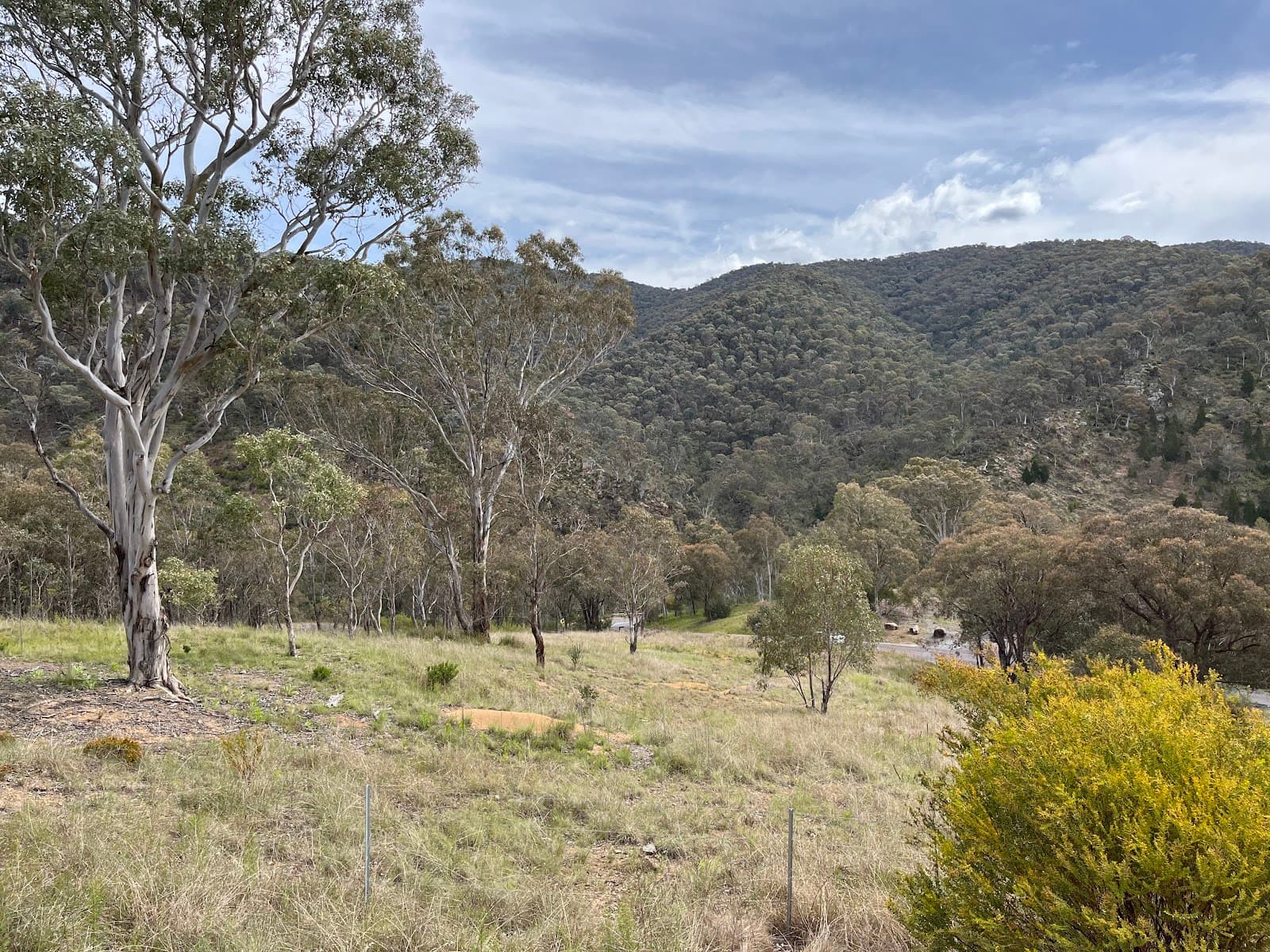
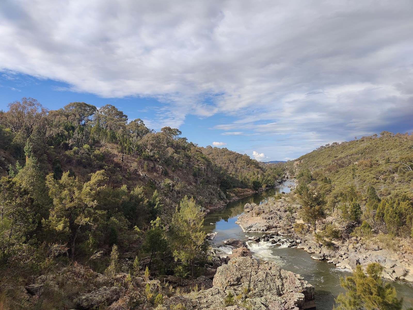
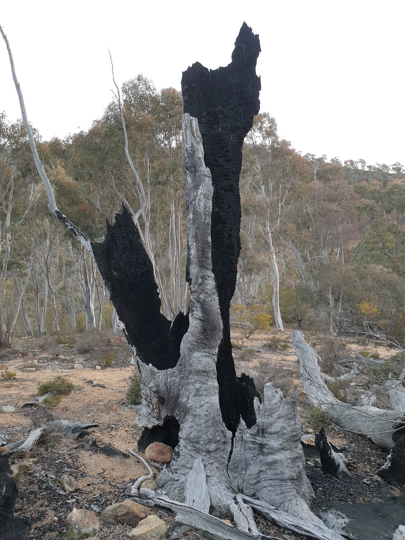
A lovely section of the Centenary Trail at Kambah in Canberra with a 4.6 rating across 48 reviews.
Practical details
Menu
Menu link from the venue's own website. Prices and items can change — the venue's page is the source of truth.
Open menuWhy it's worth checking out
Kambah Centenary Trail is part of the Canberra Centenary Trail route through Canberra’s western and southern landscapes. The section described by Parks ACT runs from Stromlo Forest Park towards Pine Island, taking walkers and riders through Cooleman Ridge Nature Reserve, Kambah Pool, the Murrumbidgee River, Bullen Range Nature Reserve, Red Rocks Gorge and Tuggeranong Wall. It is a substantial outing rather than a short suburban stroll: the walking route is approximately 27 kilometres, with an estimated walking time of nine hours, while the cycling route is about 26 kilometres and takes around three hours depending on terrain and riding speed.
There is plenty to look for along the way, including the Mount Arawang trig station, one of the ACT’s distinctive white metal surveying structures. The station was established for surveying the Tuggeranong sewer tunnel, and the broader trig-station network reflects the surveying infrastructure used across the territory from the 1970s. The trail also passes landscapes shaped by the Murrumbidgee River, which once marked the edge of legal pastoral settlement in the region. Bullen Range Nature Reserve, now part of the Murrumbidgee River Corridor, offers a quieter setting for appreciating the changing scenery around Canberra.
Walking, running, cycling and mountain biking are all listed activities. The section between Kambah Pool and Pine Island has an intermediate rating for cyclists, with some steep sections of up to a 20 per cent grade and areas of rocky or loose trail surface. A reasonable level of fitness is recommended, and riders should be prepared to get off their bikes if a section feels beyond their ability. Along the route, visitors may see laughing kookaburras, platypuses and common wombats, with trailhead signs providing information about local flora and fauna.
This suits walkers, runners and riders who are comfortable planning a longer, self-supported outing, whether tackling the full section or choosing a manageable part of it. Bring drinking water, suitable clothing, a map or information sheet and a way to arrange transport between the start and finish points. Mobile reception can be unreliable, bins are not provided, and conditions or fire restrictions may affect access. The trail is on Ngunnawal Country, cared for by Ngunnawal people for tens of thousands of years. The venue has a 4.6 Google rating from 48 reviews.
Spot Score
The Spot Score is our composite of five signals — two about the venue's standing with visitors and three about how complete and current this listing is. It is not a visitor rating and not a verdict on the food or the experience. The 4.6 from 48 reviews is Google's visitor rating, shown separately and never altered by us.
About the venue · from Google
- ReputationGoogle star rating, smoothed for review count
- 74
- PopularityHow many Google reviews it has
- 51
About this listing · our record
- Information qualityWebsite, menu and structured details on file
- 30
- Category fitHow well it matches its listed category
- 70
- FreshnessHow recently we last checked our sources
- 30
Last checked against sources 18 June 2026.
Our independent editorial score — not a user rating.
Nearby venues
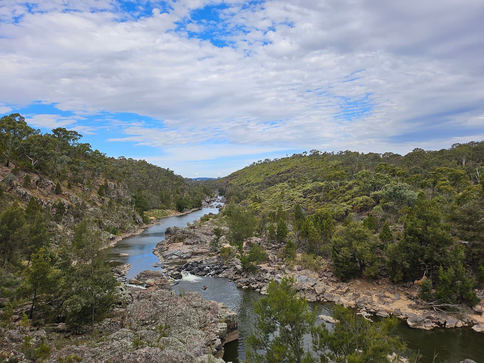
Bullen Range Nature Reserve
Wild land criss-crossed with hiking trails through hill land inhabited by native species.
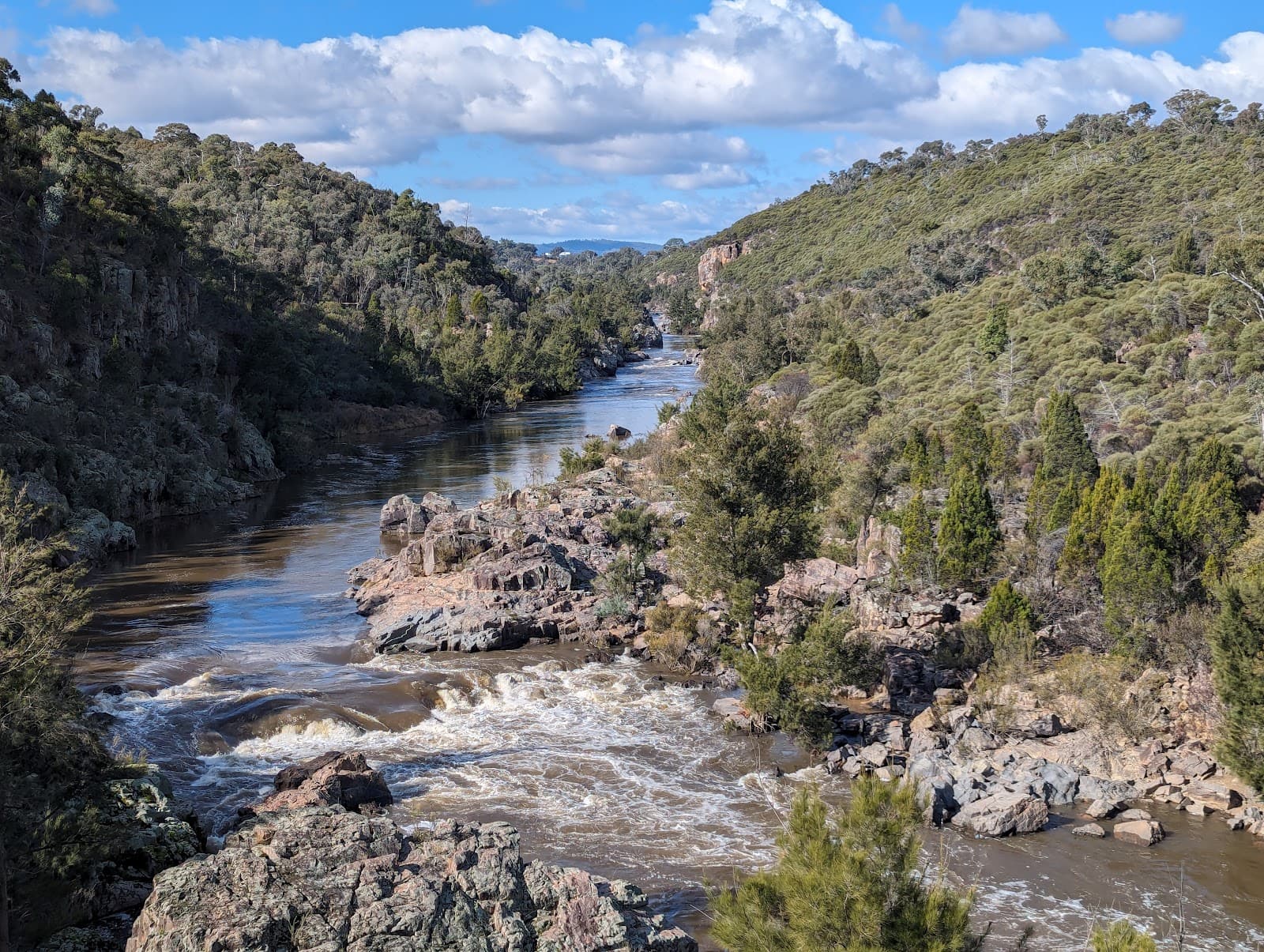
Red Rock Gorge Lookout
Parks in Tuggeranong, Canberra.
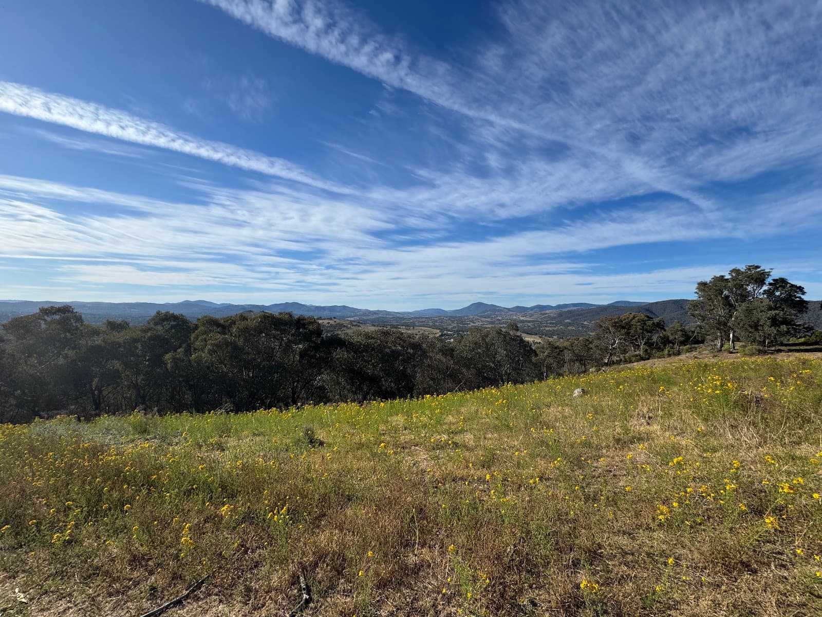
McQuoids Hill Walking Trail
A lovely bushwalking trail at Kambah in Canberra's Tuggeranong with a 4.6 rating across 7 reviews.
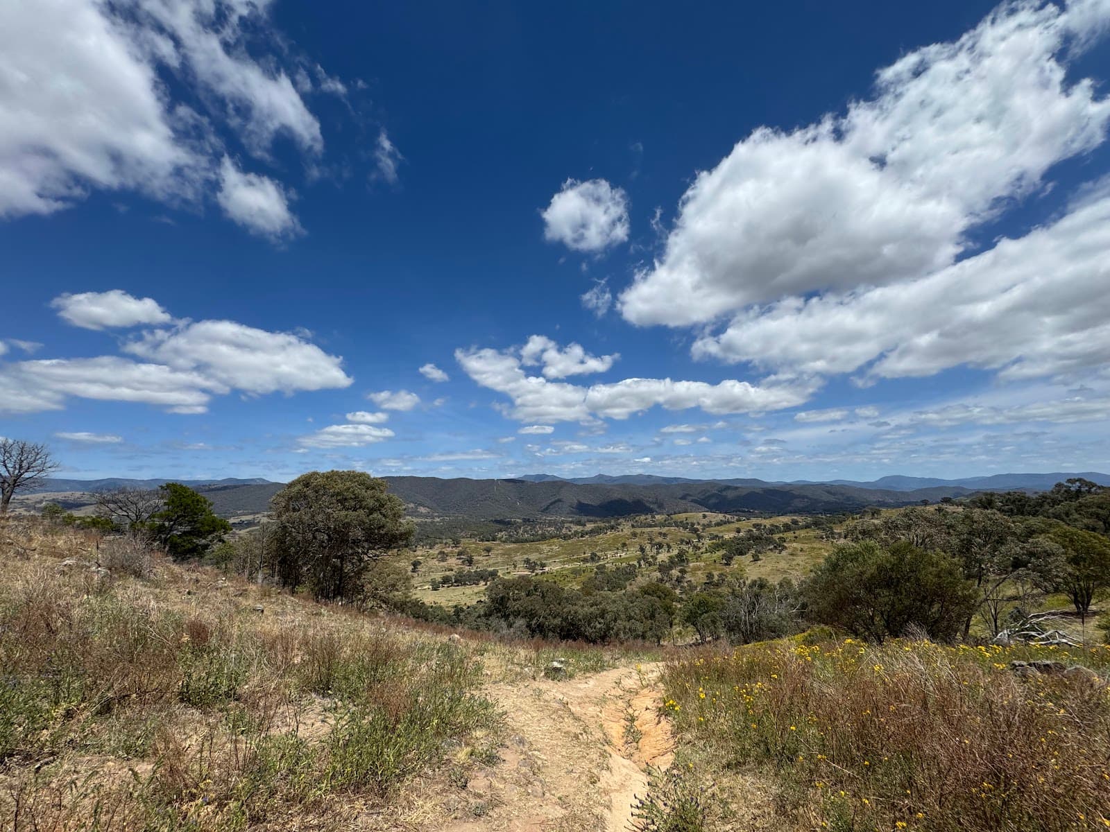
Urambi Hills Nature Reserve
A lovely nature reserve at Kambah near Tuggeranong in Canberra with a 4.4 rating across 196 reviews.
More walks in Canberra

Mulligans Flat Woodland Sanctuary
A predator-free woodland nature sanctuary at Throsby in Canberra, rated 4.7 across more than 360 reviews.
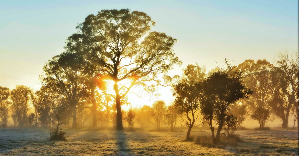
Black Mountain Nature Reserve
A bushland nature reserve and landmark in central Canberra, rated 4.4 across more than 2,100 reviews.

Mount Taylor Nature Reserve
297 hectares of native bushland, with hiking trails, picnic tables & panoramic views from a ridge.

Red Hill Nature Reserve
Hiking trails through grassy woodland for hilltop views over Canberra, plus cockatoos & kangaroos.